Step 4 - Hydrogeological Mapping, Development Of Conceptual Layout, And Identification Of Recharge Area

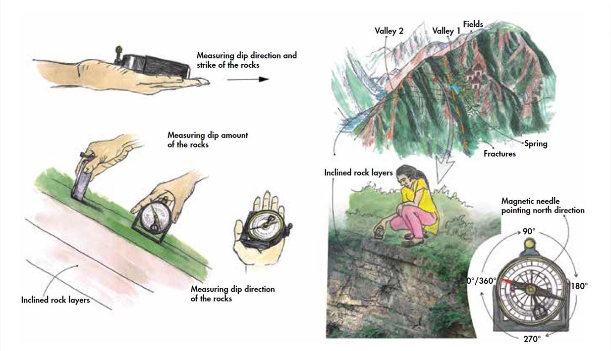
A geological map is created that shows the distribution of different types of rock and their structural relationship with each other.
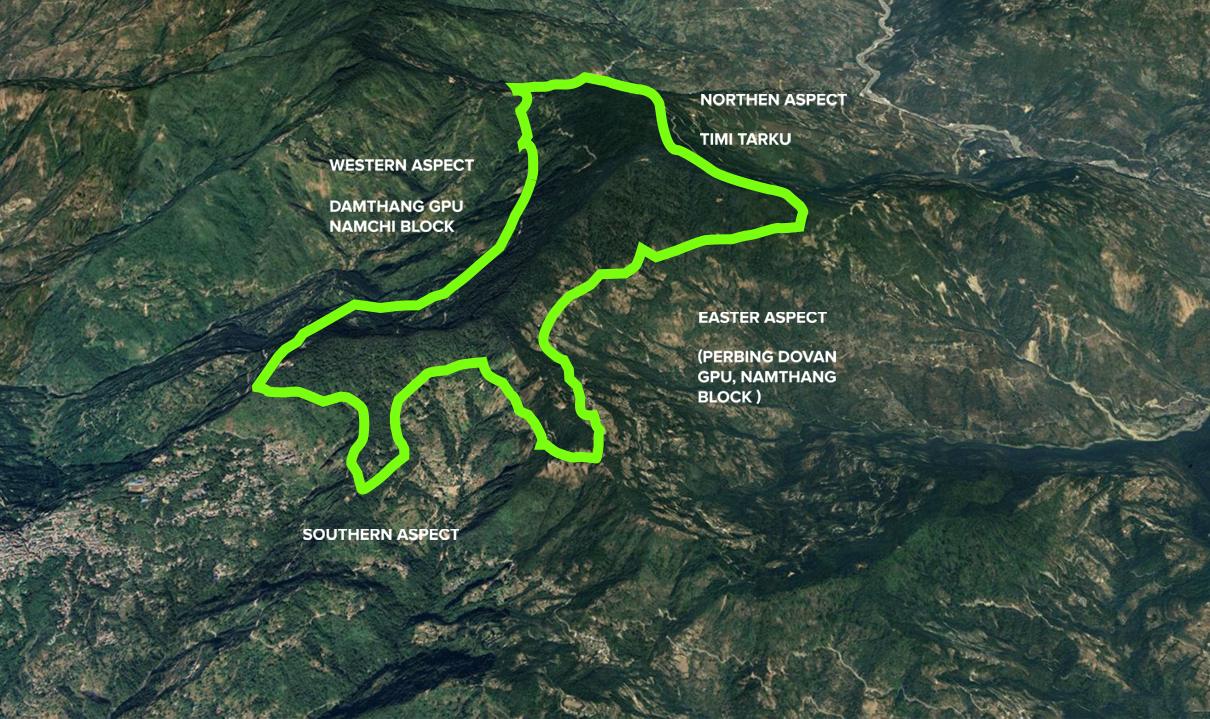
In the area of interest. Techniques and instruments like google earth and geological compass such as a clinometer or Brunton compass are used
